Free Camping Near Asheville NC (With Waterfalls to Prove It)
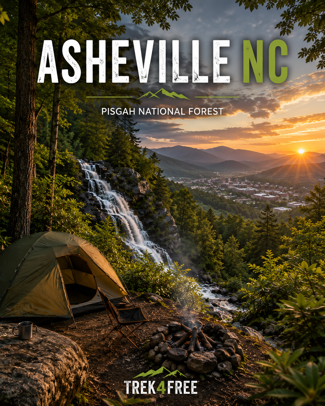
Free Camping Near Asheville NC (With Waterfalls to Prove It)
Asheville is one of the best outdoor towns in the eastern United States. It’s also figured out that people will pay for that. Hotel rates climb every year. The campgrounds within driving distance fill up on weekday reservations three months out. The food is excellent but there’s a line for the food.
What most people visiting Asheville don’t realize — and what most people living there already know — is that Pisgah National Forest essentially wraps around the city. Half a million acres. Hundreds of miles of trail. Waterfall after waterfall. And most of it allows free dispersed camping throughout.
You don’t need a reservation. You don’t need a booking fee. You need to know where to look.
Here’s where to look.
Avery Creek Road — The 30-Minute Option
Free dispersed camping, multiple roadside sites, Pisgah National Forest
The closest free camping to Asheville proper is Avery Creek Road — about 35 minutes from downtown, deep in Pisgah NF. Multiple designated roadside sites along a long gravel forest road, most with fire rings and tent pads. It’s not glamping. It’s camping. There are no hookups, no dump station, no shower house. There’s a forest road and a clearing and trees and silence.
What makes it worth knowing: the waterfall access from here is exceptional.
Avery Creek Roadside Campsites on Trek4Free →
From camp, you’re a short drive to two of the best waterfall hikes in North Carolina:
Moore Cove Falls — 1.4 miles round trip to a 50-foot falls that lets you walk behind the water. That’s the whole trail. There’s nothing complicated about it. It’s a short walk through rhododendron and hemlocks to a place where you can stand inside a waterfall. Free, no fee, off US-276.
Looking Glass Falls — Three-tenths of a mile farther up US-276, visible from the road. A 60-foot curtain of water with a paved path to the base. You can swim at the bottom. No parking fee, no entry fee — roadside pull-off on a national forest scenic byway. One of the most photographed waterfalls in the state and it doesn’t cost anything to stand in front of it.
These two waterfalls are three miles apart. You can do both in a morning and be back at camp for lunch.
Graveyard Fields — Blue Ridge Parkway Access
Two waterfalls, one trailhead, no entry fee
Blue Ridge Parkway Milepost 418.8. Elevation 5,120 feet. The parkway itself is free — no entry gate, no pass required.
Graveyard Fields got its name from the mossy tree stumps that once dotted the meadow after a windstorm. The stumps looked like gravestones. The meadow looks like nowhere else in the eastern mountains.
Two falls from one trailhead:
- Lower Falls — 0.8 miles round trip, 60-foot cascade. Easy walk, worth every step.
- Upper Falls — 3.2 miles round trip, a wide flowing cascade through rhododendron. More effort, fewer people, better views.
Graveyard Fields on Trek4Free →
There’s no formal dispersed camping at Graveyard Fields itself — it’s NPS land and overnight camping requires a backcountry permit for designated sites. But it’s a 10-minute drive from the Avery Creek dispersed sites and a 25-minute drive from several other forest service roads. Use it as a day hike from your free camp.
Note: summer weekends get crowded. Arrive early or pick a Tuesday.
Curtis Creek Area — The History One
Catawba Falls access, first national forest in the East
Curtis Creek is near Old Fort, NC — about 40 minutes east of Asheville off I-40. If you care about this sort of thing: Curtis Creek was among the first tracts of land purchased under the Weeks Act of 1911, one of the founding parcels of the national forest system in the eastern United States. They’ve been protecting this particular piece of mountain since the CCC camp era. The old-growth forest sections show it.
Curtis Creek Campground is a small, inexpensive USFS campground — a fee site, not free, but worth noting as an anchor for the area. Forest roads beyond the campground allow dispersed camping.
Curtis Creek Campground on Trek4Free →
What makes the Curtis Creek area worth the drive is Catawba Falls — a 100-foot cascading waterfall about 15 minutes from the campground. The trail follows the headwaters of the Catawba River for 4 miles round trip, past remnants of a 1920s hydropower dam, through a gorge with multiple stream crossings. Wear boots. Bring a dry bag for the crossings if you care about dry socks.
Catawba Falls is one of the best waterfall hikes in western NC and most people in Asheville haven’t done it because it’s on the wrong side of the mountain. That’s the whole reason to go.
Linville Gorge and Linville Falls
A note on Hurricane Helene
Linville Falls is one of the most photographed waterfalls in North Carolina. The Linville River drops into one of the deepest gorges in the eastern United States. Table Rock rises out of it. Wilderness camping is available throughout the gorge — free, primitive, with permit during peak season.
This is all true. And you should go there.
But Hurricane Helene hit western North Carolina hard in fall 2024 and Linville Falls is still feeling it. The visitor center and main trailhead are currently closed. Check current status directly with the Blue Ridge Parkway before making this the centerpiece of a trip.
Linville Falls Visitor Center — current status →
Table Rock and Wisemans’ View — the overlooks on the rim of the gorge — are separate from the falls trailhead and may have different access status. Check current forest service road conditions before going in.
When it reopens fully, Linville Gorge is worth a dedicated trip. The backcountry camping in the gorge is some of the best in the East. Keep watching this one.
Blue Valley — The Farther Drive, the Better Payoff
Nantahala National Forest, near Highlands NC
About an hour and 45 minutes from Asheville — farther than the others, and worth it if you have the days. Blue Valley is dispersed camping in the Nantahala National Forest near Highlands, NC. About 22 designated sites, most with fire rings and picnic tables, pit toilet on site. Free.
Blue Valley Dispersed Camping on Trek4Free →
The waterfall situation around Highlands is exceptional:
- Dry Falls — You walk behind this one. Literally under the falls on a paved path.
- Bridal Veil Falls — Roadside, you used to be able to drive under it (road now closed to cars, but you can walk through).
- Glen Falls — Three-tiered cascade with a moderate 2-mile hike.
- Cullasaja Falls — Visible from US-64, a dramatic gorge cascade.
Four waterfalls, all within 15 minutes of the same campsite. The Nantahala area gets undervisited because people run out of trip before they get there from Asheville. That’s your opportunity.
The Quick Reference
| Campsite | Drive from Asheville | Closest Waterfall | Fee |
|---|---|---|---|
| Avery Creek Road | 35 min | Moore Cove / Looking Glass | Free |
| Graveyard Fields day hike | 30 min | Upper + Lower Falls | Free (day hike) |
| Curtis Creek area | 40 min east | Catawba Falls | Campground fee / dispersed free |
| Blue Valley | 1h 45min | Dry Falls, Glen Falls, more | Free |
| Linville Gorge | 1h | Linville Falls (check status) | Free backcountry |
The full list of free camping in North Carolina — every national forest site, BLM site, and dispersed camping area we’ve catalogued — is on Trek4Free: Browse NC free camping →
Every listing includes a weather forecast, a map, and nearby outdoor spots within 8 miles. No paywall. No login. No booking fee.
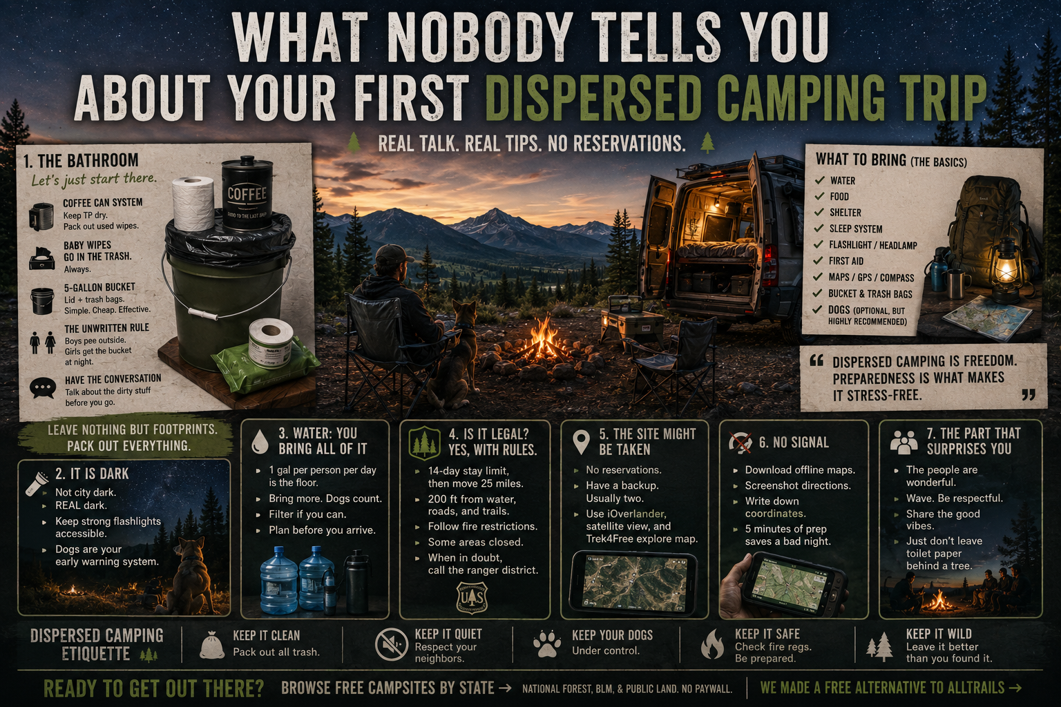
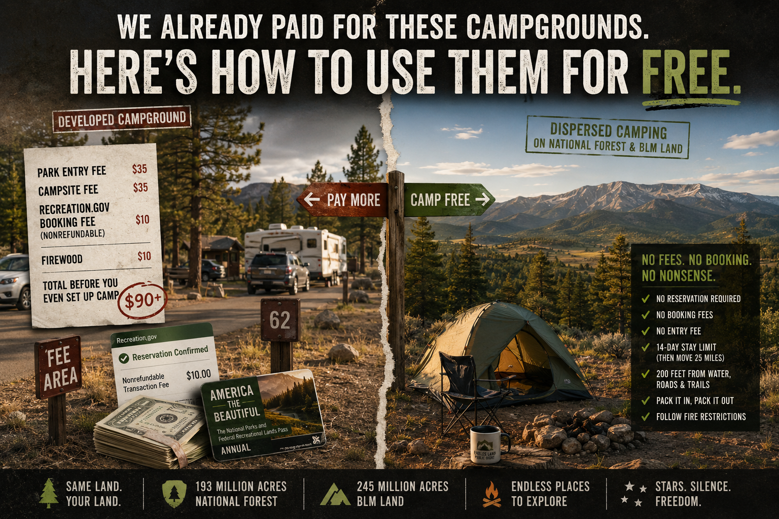
New to dispersed camping and not sure what to expect? Read the honest version first: what nobody tells you about your first dispersed camping trip →. And if the Recreation.gov booking fees have frustrated you lately, the math on that is here →. Planning a trip through the region? We also have a free camping guide near Knoxville TN → — Cherokee National Forest, Citico Creek, and the Smokies.