Free by design
Dispersed camping and trail access with no subscriptions, no logins, and no upsells.
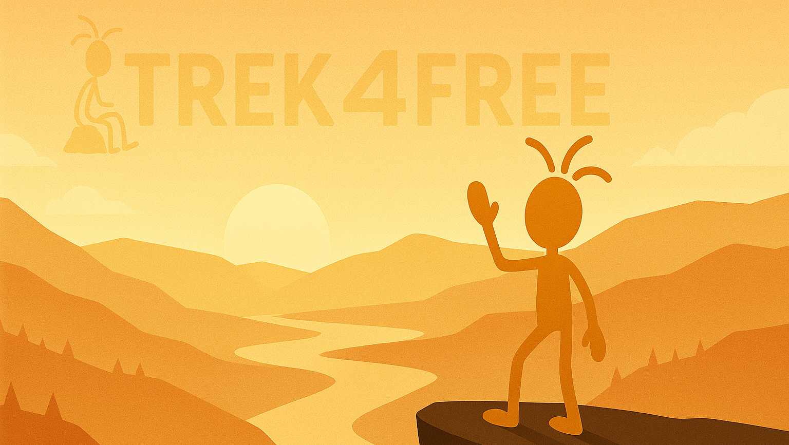
Your free, community‑powered guide to trails, trailheads, waterfalls & swimming holes, and no‑fee campsites. No logins. No paywalls. Just the info you need to go.

Dispersed camping and trail access with no subscriptions, no logins, and no upsells.
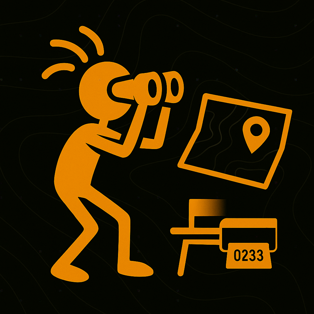
Road conditions, fees, seasonality, water & restrooms — the practical details that actually matter.
Public map sources + on‑the‑ground reports. Share what you know and help the next person adventure smarter.
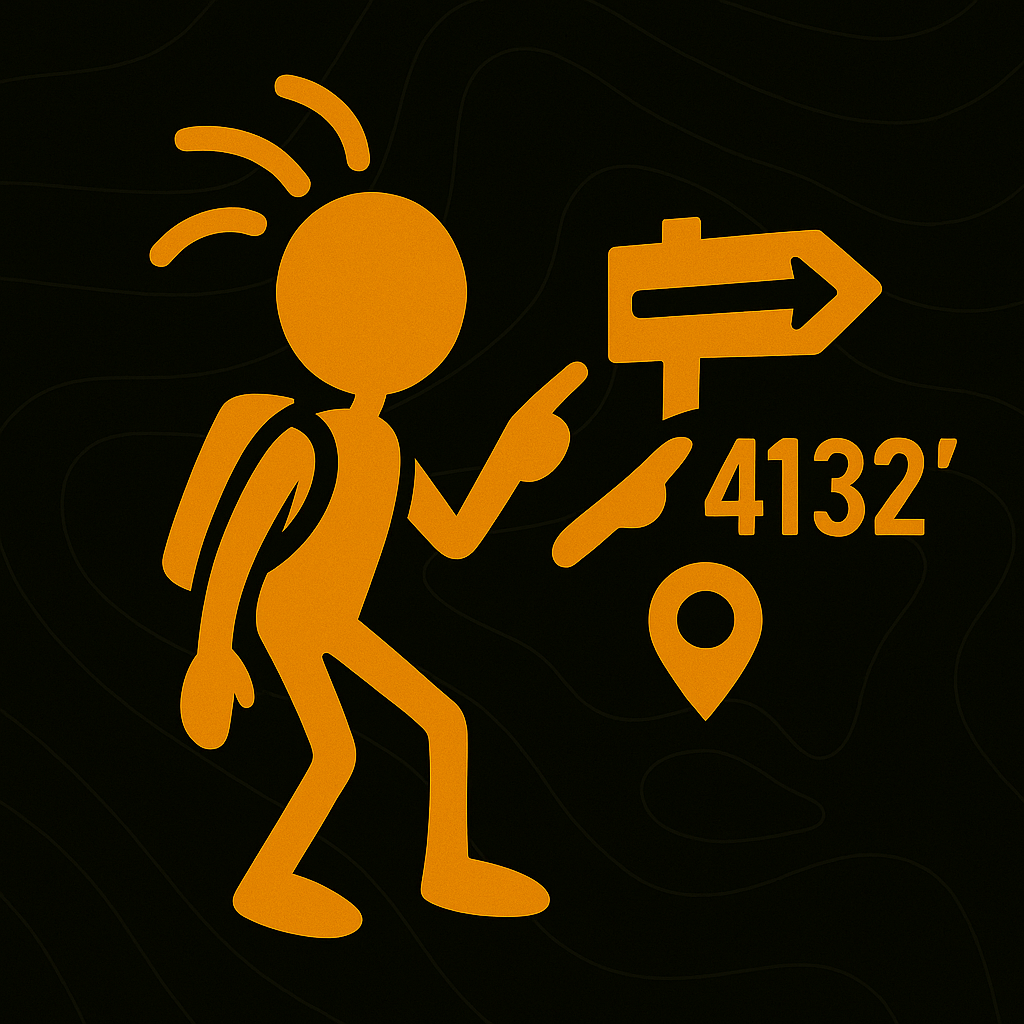
Clean pages with coords, topo context, quick links, and a tidy print/PDF layout for the field.

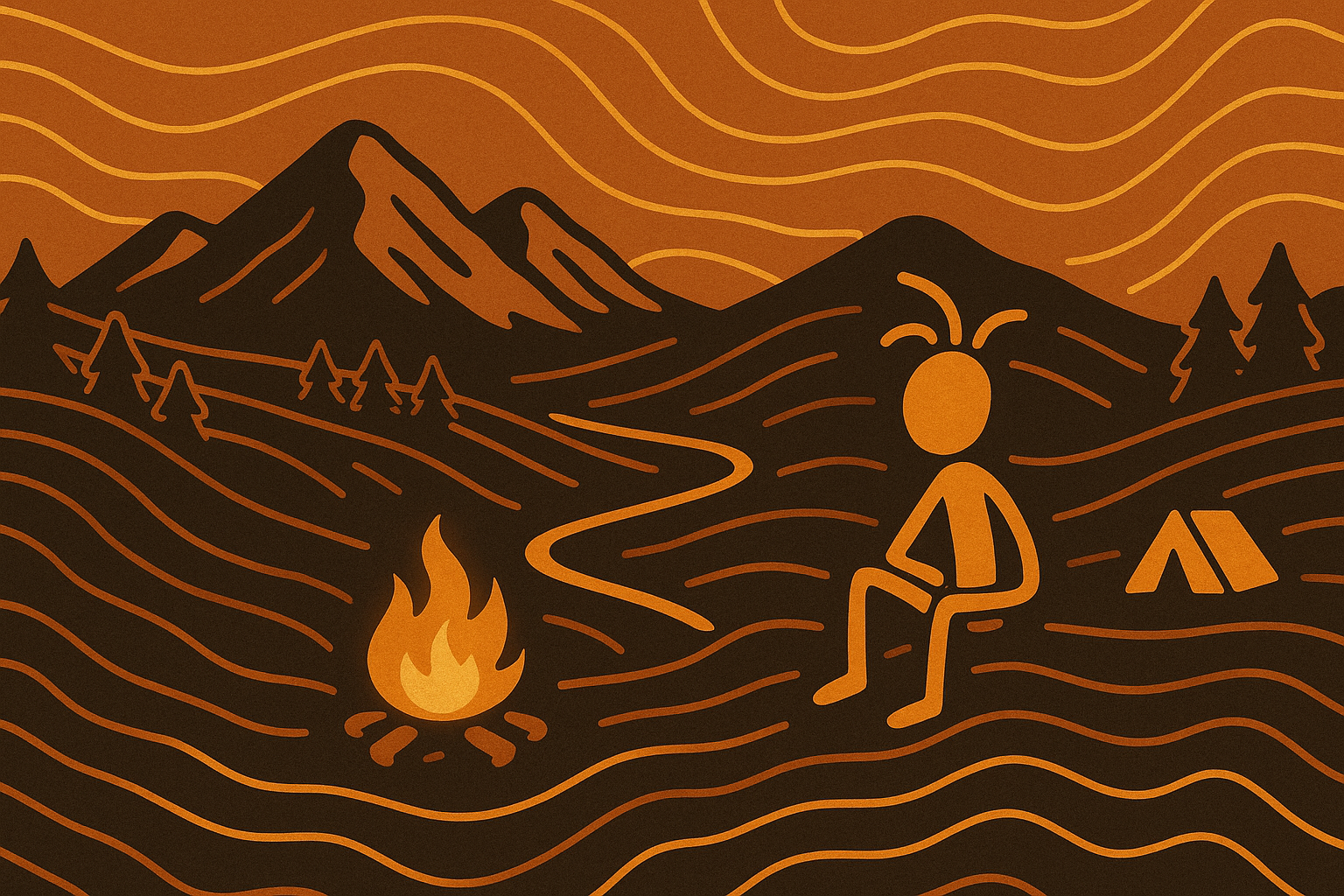
After years of chasing ridge lines, sleeping in trailhead pullouts, and piecing together info across dozens of tabs, we wanted a simple, free way to plan hikes and find legal, no‑fee camping — and to give that back to the community.
Want the personal version with dogs, vans, and trail legends? Read the original About page.
Plan smarter. Spend less. Go farther. Trek4Free is your free guide to the good stuff.
Events, trail finds & outdoor news — free.