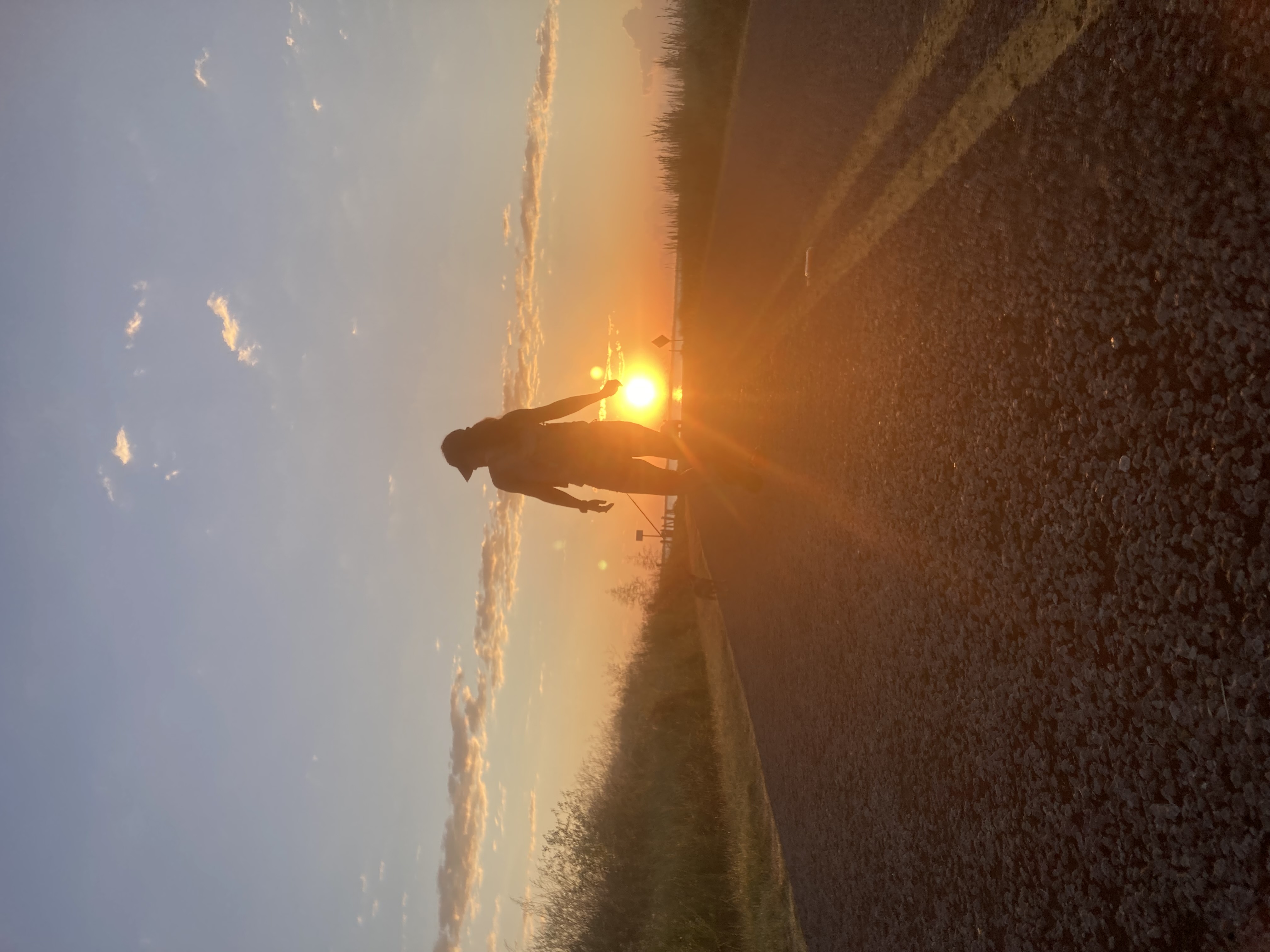
Texas Has Great Hikes. You Just Have to Know Where to Look.
Texas Has Great Hikes. You Just Have to Know Where to Look.
The first thing people say when you mention hiking in Texas is: flat. Hot. Nothing out there.
They’re wrong on all three counts. Texas is the second largest state in the country, and it contains four distinct ecosystems — the Piney Woods of East Texas, the Hill Country limestone plateau, the Chihuahuan Desert in the Trans-Pecos, and the high-elevation mountains along the New Mexico border. Each one hikes completely differently.
The confusion comes from people who drove I-10 or I-35 and made a broad conclusion. That’s like flying into Denver, driving to Wichita, and deciding Colorado is flat.
Here’s where to actually go.
Guadalupe Mountains National Park — The Hike Texas Doesn’t Talk About
The Texas you don’t know about rises to 8,751 feet in the Guadalupe Mountains, near the New Mexico border in far West Texas. Guadalupe Peak is the highest point in the state, and the trail to get there is the real thing — 8.5 miles round trip, 3,000 feet of elevation gain, exposure on the ridgeline, technical enough to demand respect.
This is not a walk. In the right conditions it’s one of the better summit hikes in the American Southwest. Most Texans have never done it. Most Texans don’t know it exists.
The park sits at the edge of the ancient Permian Reef — the same fossil reef that runs through Carlsbad Caverns just north in New Mexico. The geology is world-class. The visitor numbers are not. Because it’s a six-hour drive from Dallas and eight from Houston, you get the mountain mostly to yourself.
If you’re already making that drive, add Big Bend — it’s another three hours south, and the South Rim Trail in the Chisos Mountains is legitimately spectacular. Plan a full day for the 12-mile loop.
Logistics: No shade on Guadalupe Peak trail. Start early, bring more water than you think you need. Pine Springs Visitor Center has a small but useful gift shop and a campground. The nearest real town is Van Horn, about an hour east.
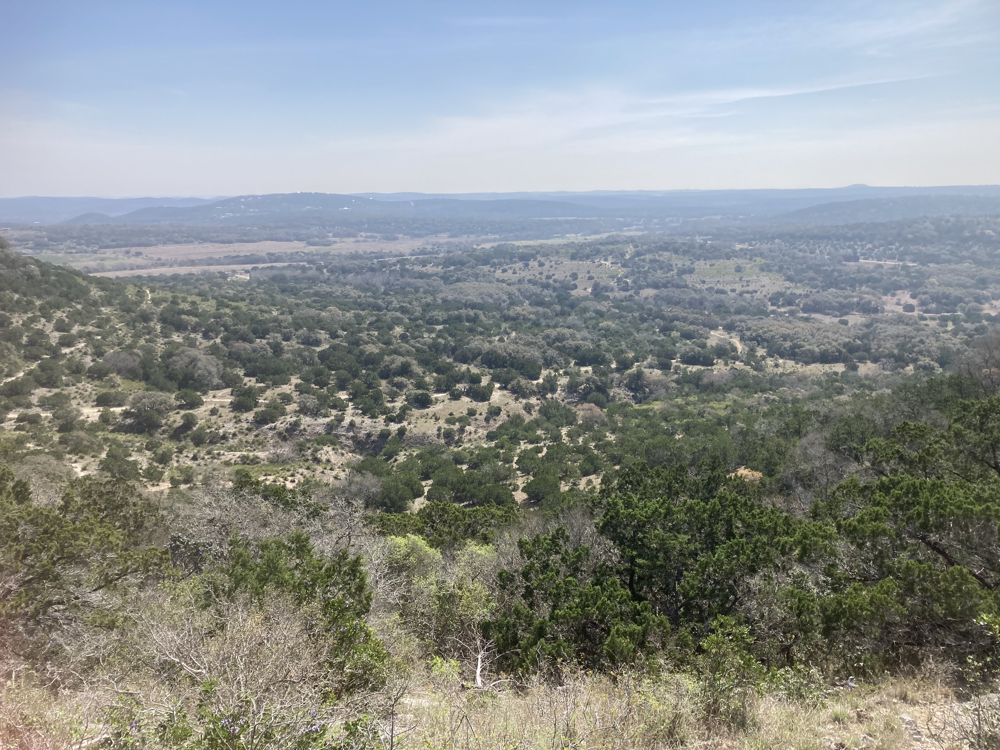
Hill Country State Natural Area — The One Nobody Knows
This is the one I actually want to tell you about.
Hill Country State Natural Area sits outside Bandera, about an hour northwest of San Antonio. It’s 5,400 acres of limestone hills, creek drainages, and oak-juniper terrain. It has over 40 miles of trails. Dogs are allowed on leash. You can almost always get in without advance reservations, which is increasingly rare in Texas state parks.
Here’s why it stays quiet: it’s primarily marketed as an equestrian area. The parking lots have horse trailer spaces. The trails are wide because horses use them. Most day hikers scroll past it looking for something that sounds more dramatic.
That’s exactly why it works for runners and serious hikers. The trails are clear, wide enough to move fast, and empty. No crowds, no parking lot lottery, no one posting it on Instagram. Just limestone hills, cedar, and oak, and the kind of solitude that state parks are increasingly unable to provide.
Dogs love it. I have yet to meet a trail dog that wasn’t happy here.
The terrain has real relief — these are genuine Hill Country hills, not flat scrub. There are creek crossings that can challenge you after rain. The longer loops push 8-10 miles and feel remote in a way you don’t expect within two hours of a major city.
Logistics: Day use fees apply. Arrive early on weekends — not because it fills up the way Enchanted Rock does, but because late afternoon in summer is punishing. Water is available at the trailhead. Camping is available if you want to stay.
Pedernales Falls State Park — Hill Country Swimming and Trails
Closer to Austin (about an hour west), Pedernales Falls is where the Pedernales River cuts through limestone shelves and creates a series of falls and pools that define what Hill Country hiking looks like. The trails run 7 miles total, which isn’t a lot of distance but punches above its weight in scenery.
The pull here is the combination: a real hike in the morning, a swim in the falls in the afternoon. The trail system connects overlooks above the river to the falls area below. In low water you can walk across the exposed limestone slabs.
If you’re in Austin and want to get out of town without committing to a three-hour drive, this is the move. There’s a reason the Capt’n Karl’s Trail Series runs a night race here — the terrain is technical enough to be interesting.
Logistics: Advance reservations strongly recommended on weekends. The falls swimming area closes when water levels are high — check Texas Parks & Wildlife before you go.
The Lone Star Hiking Trail — Actual Backpacking in Texas
128 miles through Sam Houston National Forest, northwest of Houston. Longleaf pine, stream crossings, the Little Lake Creek Wilderness, and zero crowds. We’ve got a full guide to the LSHT here but the short version is this: it’s the only real long-distance backpacking trail in East Texas, it’s genuinely remote in sections, and most Texans have never heard of it.
Paired with the Four C Trail in Davy Crockett National Forest, you’ve got two legitimate wilderness experiences within a few hours of Houston. East Texas doesn’t get credit for what it actually is.
Davis Mountains State Park — The Other Texas Mountain Hiking
The Davis Mountains in the Trans-Pecos are the most heavily wooded mountain range in Texas — which sounds like faint praise until you’re standing in a sky island forest of Emory oak, piñon pine, and ponderosa above 7,000 feet. The temperature in July at that elevation is a completely different experience than anywhere else in Texas.
The park has about 10 miles of trails, including a 4.5-mile route to the Mount Livermore saddle area. The Skyline Drive Trail offers the kind of ridgeline views that make you question everything you thought you knew about Texas.
The Davis Mountains are also where serious runners come to train at elevation — there’s a trail race out here that draws people who know what they’re doing.
Logistics: Fort Davis is a legitimate small town with food, gas, and lodging. McDonald Observatory is 16 miles up the mountain — worth the evening star party if you’re camping.
Caprock Canyons State Park — West Texas and the Buffalo
Three hours south of Amarillo, Caprock Canyons is where the flat Llano Estacado breaks apart into a red-rock canyon system that looks nothing like the rest of Texas. The official Texas State Bison Herd lives here — the genetic descendants of the last free-roaming Southern Plains bison.
The park contains the Caprock Canyon Trailway, a converted railroad grade that runs 64 miles across the breaks. You can day hike sections of it or string together a multi-day route. The Upper Canyon Trail and South Prong Trail are the best day hike options — 10-15 miles of canyon, red rock, and open sky.
This one is genuinely remote. It’s the Texas hiking equivalent of a canyon trip — not Zion, but not nothing either.
Government Canyon State Natural Area — Dinosaur Tracks and Zero Crowds
Government Canyon is northwest of San Antonio, and it has one of the most unusual payoffs of any hike in Texas: actual dinosaur tracks embedded in the limestone, right on the trail.
The park has 40+ miles of trails through cedar-covered Hill Country terrain. The tracks are further down — a real hike to get there, not a paved walkway from a parking lot. That distance is the filter. The people who aren’t willing to walk for it don’t see them. The people who are willing to walk for it arrive and find themselves looking at sauropod footprints pressed into stone 110 million years ago, with nobody else around.
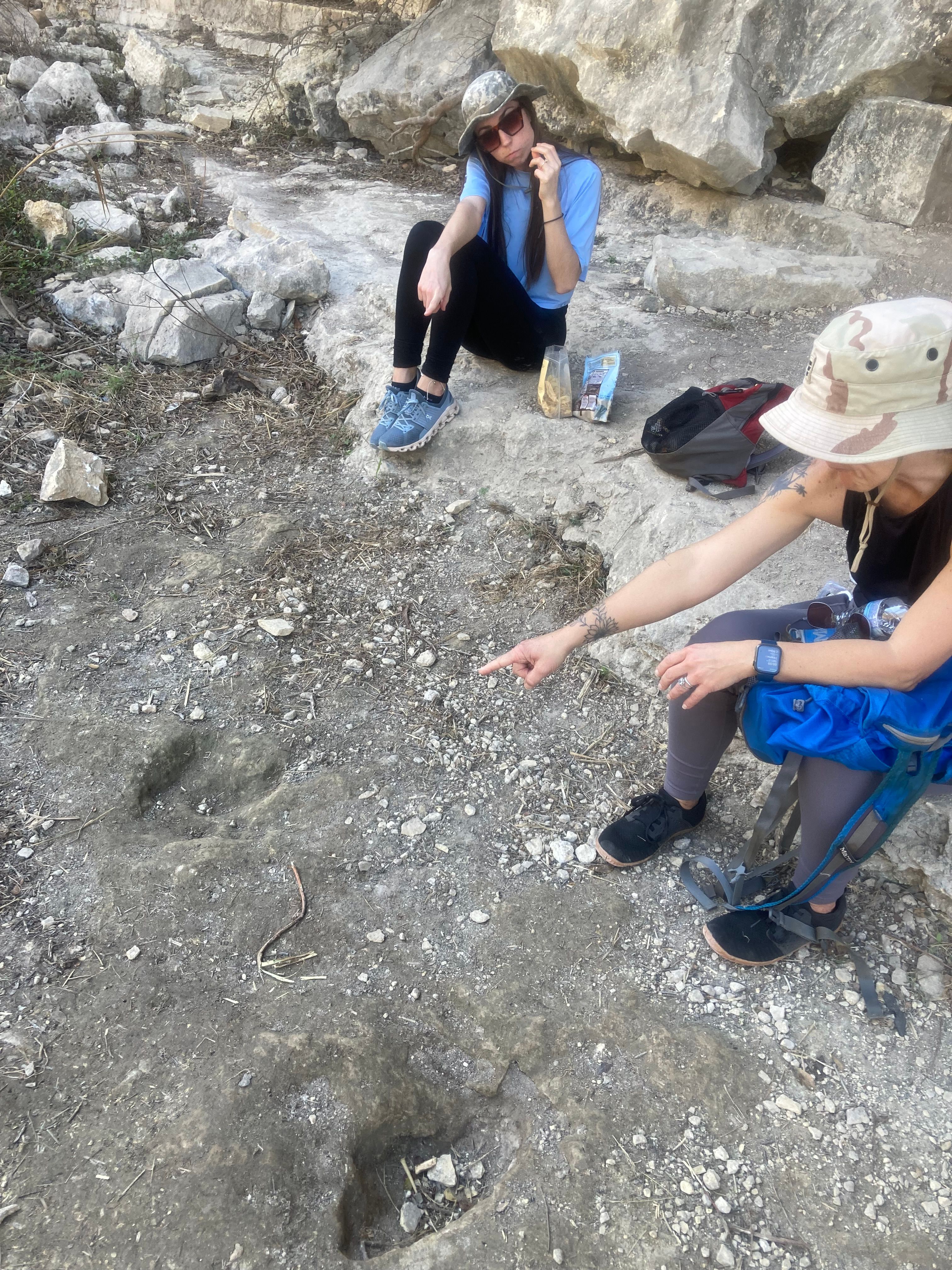
There’s something about standing next to a dinosaur footprint in the middle of a Texas cedar forest, having earned it with your legs, that hits differently than any exhibit case.
A few things to know: this is a state natural area, not a typical state park, so the hours are limited — it’s generally open weekends only (verify current hours at Texas Parks & Wildlife before you go). No dogs allowed. The tracks require a full hike to reach, which keeps foot traffic down significantly. This is not on most people’s radar and that’s exactly what makes it worth going.
Logistics: Pack plenty of water. Trail surfaces are rocky limestone — appropriate footwear matters. Check the TPWD website for current access hours before making the drive.
What Texas Hiking Actually Is
The reason Texas has a hiking reputation problem isn’t that the hikes aren’t there. It’s that they’re spread across a state the size of France, and the ones worth doing require effort to find and often a long drive to reach.
The reward for that effort is solitude. The Guadalupe Peak trail on a weekday in October will have fewer people on it than any popular national park trail you’ve ever hiked. Hill Country State Natural Area on a Tuesday in November is yours.
If you’re a Texas-based runner, hiker, or van camper who thinks you’ve exhausted the options, you probably haven’t. You’ve exhausted the obvious ones.
The good hikes here are just a little harder to find.