The Four C Trail: East Texas's Most Demanding Backcountry Hike
The Four C Trail: East Texas’s Most Demanding Wilderness Hike
Most people think of Texas as flat, hot, and treeless. The 4-C National Recreation Trail will make you reconsider at least one of those assumptions.
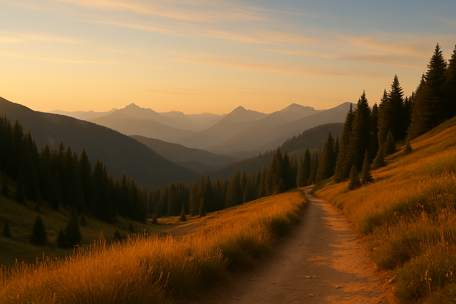
Deep in Davy Crockett National Forest in Houston County, a 20-mile primitive trail winds through a landscape most Texans don’t know exists — longleaf pine restoration areas, Neches River bottomlands thick with hardwood, creek drainages where the canopy closes overhead and the trail gets soft underfoot. It is, by a significant margin, the most authentic wilderness hiking experience in East Texas.
What the 4-C Is
Full name: Four C National Recreation Trail (the four Cs are “Campers, Crafters, Campers, and Crockett” — referring to the constituencies who lobbied for the trail’s designation) Distance: 20 miles one-way Difficulty: Hard — not due to elevation, but due to terrain conditions, no water, and heat Trailhead (south): Ratcliff Lake Recreation Area, off TX-7 Terminus (north): Neches Bluff Overlook Marker: White blazes
This is not a loop. It is a point-to-point trail — you walk in one end and out the other. Most hikers do it as an overnight backpack, shuttling a car to Neches Bluff and starting from Ratcliff (or vice versa). Day hikers can tackle segments out and back from either end.
The No-Water Reality
This is not buried in the middle of the trail description for a reason: there is no potable water anywhere along the 20-mile route. Not at campsites, not at road crossings, not at the trailhead. You carry everything you need, or you carry a filter and treat water from the creek drainages (which exist but are seasonal and should be filtered carefully).
For an overnight trip, that’s potentially 4+ liters of water per person in cool weather and significantly more in warm months. Plan accordingly. This single logistical reality changes the character of the trail more than anything else about it.
The Primitive Campsites
Three designated camping areas are spaced along the route:
- Walnut Creek (roughly 7 miles from the south trailhead)
- Pond Camp (roughly 12 miles)
- Neches Bluff Overlook (at the northern terminus)
These are primitive — no facilities beyond cleared tent pads. Neches Bluff Overlook sits on a ridge above the Neches River with a view through the trees that makes the final miles worthwhile.
The Best Season (And Why Summer Doesn’t Count)
East Texas summer is not a hiking season. June through September brings heat indices that regularly exceed 100°F, humidity that makes that feel like 115°F, and insects that would be remarkable if they weren’t so annoying. Snakes are active. Ticks are aggressive.
November through March is the window. Cool temperatures, low insect activity, and — if you’re lucky — a hard frost before you go that makes the bottomland forest quiet and the trail crisp underfoot. Winter in the longleaf pine understory, with the long shadows and brown needles, is a genuinely atmospheric experience.
The Companion Trails at Ratcliff Lake
The south trailhead is at Ratcliff Lake Recreation Area, which has developed camping, swimming, and two short interpretive trails that are worth doing as a warmup or alternative:
- Trail Tamers Trail (0.75 miles): An accessible boardwalk nature trail with interpretive panels developed by the Central Texas Trail Tamers volunteer group.
- Tall Pines Trail (1.5 miles): A loop through mature longleaf pine, connecting back to the recreation area. Excellent for birding.
Ratcliff Lake itself — a dam-created lake on Walnut Creek — has a swim beach and is pleasant in cool weather.
Getting There
Ratcliff Lake is south of Crockett, TX on TX-7. Crockett (the closest town of any size) is 2.5 hours northeast of Austin, 2 hours north of Houston. No services are available at the trailhead — fuel up in Crockett. Maps are available at the Ratcliff Lake fee station and the Crockett Ranger District office.
This is a trail that rewards preparation. Bring more water than you think you need, go in the right season, and you’ll have the kind of quiet that’s hard to find anywhere in the Texas Hill Country or Big Bend corridor.
Coordinates: 31.394°N, 95.133°W | Ratcliff Lake Recreation Area, Davy Crockett National Forest, TX