Skyline Trail at Mount Rainier: Wildflowers, Glaciers, and the Mountain
Skyline Trail at Mount Rainier: The Mountain Up Close
Mount Rainier is 14,411 feet of volcanic ice sitting in the Cascades 60 miles southeast of Seattle. It is, by most measures, the most heavily glaciated peak in the contiguous United States — 26 named glaciers covering roughly 35 square miles of ice. On a clear day you can see it from Oregon.
The Skyline Trail at Paradise doesn’t take you to the summit — that’s a technical mountaineering route requiring permits, guides, and glacier travel skills. What it does is take you into Rainier’s world: above treeline, alongside the glacier, through meadows that briefly transform each August into the most spectacular wildflower display in the Pacific Northwest.
The Hike
Distance: 5.5 miles (loop; extensions available) Elevation gain: ~1,400 feet Difficulty: Moderate — sustained climb to Panorama Point, then descent Trailhead: Henry M. Jackson Visitor Center at Paradise (5,400 ft)
The loop can be walked in either direction. Most hikers go counterclockwise — climbing steeply to Panorama Point (6,800 ft) via the High Skyline route, then descending past Myrtle Falls and through the lower meadows. The views from Panorama Point are the reason you came: the Nisqually Glacier fills the foreground, the summit towers above, and on clear days Mt. Adams and Mt. St. Helens appear to the south.
The Wildflowers
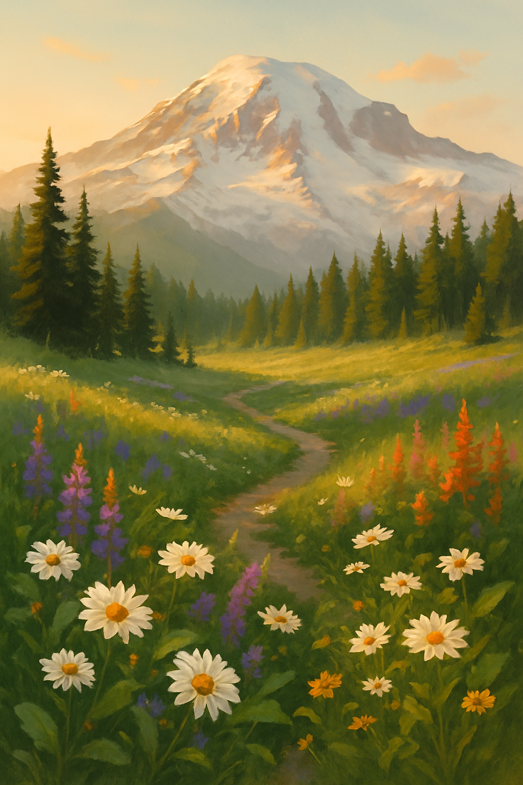
Rainier’s subalpine meadows get a very short growing season — the snow typically doesn’t clear until late July, and first fall frost arrives in September. What plants do in those 6–8 weeks is extraordinary. The meadows go from brown to a dense carpet of lupine, paintbrush, bistort, and avalanche lilies almost overnight. Peak bloom is typically late July through mid-August, depending on snowpack that year.
The park posts current flower conditions on their website and at the visitor center. If you’re timing a visit specifically for flowers, check before you go.
The Snow Problem
Rainier receives more measured snowfall than almost anywhere in North America — the world record for snowfall in a single season (1,122 inches) was set here in 1971–72. Snow lingers on the upper Skyline Trail into August in heavy years. Early-season hikers often encounter solid snowfields on the upper sections, which require microspikes or ice axe for safe travel.
The lower meadows and Myrtle Falls section are typically clear by mid-July. The full loop to Panorama Point opens fully sometime between late July and early August depending on the year.
Always check current conditions at the Paradise Visitor Center before heading up.
Parking and Access
The Paradise parking lot fills by 9–10am on summer weekends. The park has implemented a timed-entry reservation system for vehicles at peak times — check the park website before visiting. An alternative: take the Rainier Shuttle from the park’s Ashford gateway, which drops you at Paradise without the parking battle.
Pets are not allowed on trails above the Paradise parking area. No exceptions.
The Visitor Center
The Henry M. Jackson Visitor Center at Paradise is worth spending time in — exhibits on Rainier’s volcanic history, glaciology, and ecology are genuinely good. There’s also a café, restrooms, and rangers who give current conditions reports. It’s the best-staffed visitor center in the Washington Cascades.
Beyond the Skyline Loop
If you want more:
- Camp Muir (4.5 miles one-way from Paradise, 4,600 ft gain): The high camp used by summit climbers at 10,188 feet. A long and exposed day hike, stunning views, no technical equipment required. Check avalanche conditions; this route crosses glaciated terrain in spring.
- Panorama Point Extension: From the main loop, continue up the High Skyline route above Panorama Point for even more exposure and views. Requires good conditions and sure footing on snow.
- Wonderland Trail: 93 miles circling the entire mountain; one of the premier multi-day hikes in the Northwest.
Getting There
Paradise is on the south side of the park, accessed via SR-706 from Ashford, WA. Park entry is $35/vehicle. Ashford has the nearest gas and services. Lodging at the historic Paradise Inn is exceptional if you can get a reservation (book months ahead). Camping at Cougar Rock Campground (reserve via recreation.gov) puts you inside the park with early access to Paradise.
Coordinates: 46.7866°N, 121.7355°W | Paradise, Mount Rainier National Park, WA