The Harder-to-Find Places Are the Point
The Harder-to-Find Places Are the Point
There is a version of outdoor recreation that involves a reservation made six months in advance, a permit lottery you may or may not win, a timed-entry window, a paved trail, a ranger station with a gift shop, and a selfie spot marked with a painted rock.
And there is another version — less organized, harder to reach, without a QR code or an Instagram location tag — that feels like the outdoors always used to feel: empty.
The second version still exists. But finding it now requires deliberate effort.
The Information Economy of Outdoors
The outdoor recreation boom since 2020 didn’t create new demand out of nothing. It amplified existing patterns: people who were already interested went more, and people who were vaguely interested got specific reasons to go. The social media loop accelerated it — a stunning image of a slot canyon or a mountain lake gets millions of impressions, and within months the location has a parking problem.
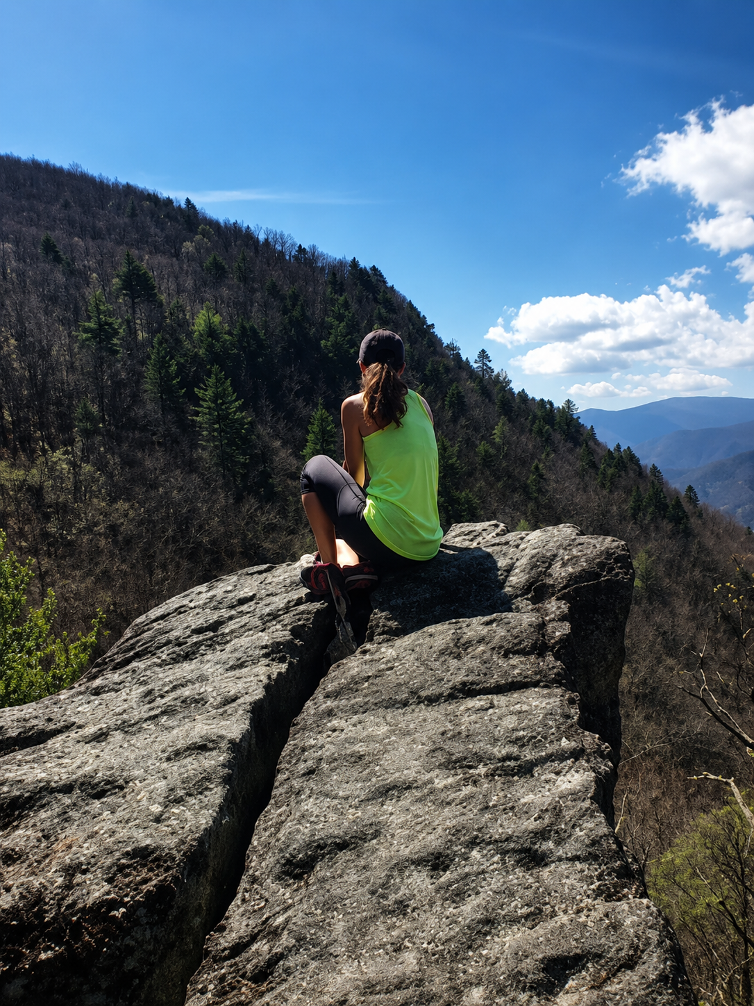
But the social media loop has a bias. It captures photogenic, accessible, and name-brand destinations disproportionately. The lonely granite ridge in the Pisgah National Forest with a 180-degree view and zero other hikers doesn’t go viral because nobody has a reason to post about it. Its obscurity is self-reinforcing.
This creates an opportunity. The information asymmetry between the well-known and the unknown is enormous, and that gap is where solitude lives.
What “Harder to Find” Actually Means
It rarely means dangerous or technically demanding. It usually means one or more of the following:
No paved access. A dirt or gravel forest road instead of a paved park entrance. Navigating it requires some local knowledge (or a reliable offline map app), but the road is perfectly passable in a standard car.
No official name. The swimming hole doesn’t have a sign or a Wikipedia entry. It’s on a creek in a national forest that anyone can legally access. The barrier is knowing it exists.
No designated campsite. Dispersed camping on national forest or BLM land means no numbered post, no picnic table, no fire ring. You find a flat spot off a forest road, stay for up to 14 days, and leave without a trace. The legal framework is clear; the logistics are simple. The main obstacle is finding where to go.
Not on any top-10 list. The single most reliable signal that a place will be empty is the absence of a recent listicle about it.
The Topo Mindset
Experienced backcountry travelers develop what might be called a topo mindset — the ability to look at a map and identify promising terrain without someone telling them it’s promising. You learn to read contour lines for ridgelines with views, drainages with water, south-facing slopes that are snow-free earlier in spring.
You also learn to look for land status layers on the map: where does national forest begin, where is BLM land, where are the dispersed camping areas. Most of this is publicly available — on USFS ranger district websites, on the Motor Vehicle Use Maps (MVUMs) that govern which forest roads are open — but it’s scattered across dozens of sources and requires effort to assemble.
Trek4Free is an attempt to flatten some of that learning curve. The explore map aggregates free camping locations, trailheads, and swimming holes across the U.S. and puts them on a single searchable interface. It doesn’t replace the topo mindset, but it gives you a starting inventory.
Why the Friction Matters
Here is a thing that is true: some places benefit from being hard to find.
The camping spot that requires a 2-mile hike instead of a parking lot is, in practice, half as crowded. The waterfall that requires a scramble instead of a paved trail to reach has a 90% reduction in visitors over the one at the end of the boardwalk. The friction is the filter.
If you are willing to do slightly more work — an extra hour of driving, a mediocre dirt road, an offline map download, a campsite without a fire ring — you gain access to a different category of experience. Not necessarily more dramatic, not necessarily more scenic. But quieter, more open, more like the outdoors that people who love the outdoors have always been looking for.
That place exists. It’s probably within a few hours of wherever you are. It just isn’t on the first page of search results.
Trek4Free’s explore map covers free camping, trailheads, and swimming holes on public land — with no paywall, no login, and no ads. Start there.