The Continental Divide Trail: America's Wildest Long Walk
The Continental Divide Trail: America’s Wildest Long Walk
The Triple Crown of American long trails — the Appalachian Trail, the Pacific Crest Trail, and the Continental Divide Trail — share the same basic ambition: walk a long way through wild country. But they are not the same trail. They are not the same experience. And the CDT is not the same scale of commitment as the other two.
At 3,100 miles from the US-Mexico border at Antelope Wells, New Mexico to the Canadian border at Waterton Lakes, Montana, the Continental Divide Trail is the longest, highest, and least-defined of the three. It is also, by most accounts, the most demanding.
What Makes the CDT Different
It’s less developed. The AT has white blazes on nearly every tree. The PCT is a continuous corridor of trail. The CDT is still being built. About 800 miles of the trail run on roads, alternate routes, and provisional corridors. Navigation requires real map-reading skills — not just following blazes.
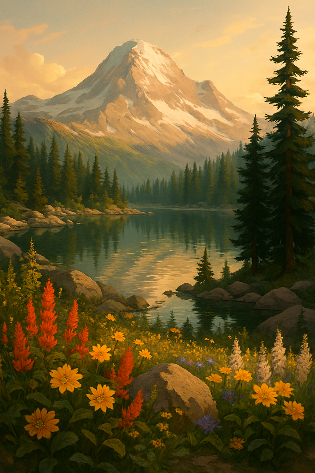
It’s higher. The CDT’s average elevation is around 10,000 feet. In Colorado, it spends significant mileage above 12,000 feet. Altitude affects everything: acclimatization, pace, weather exposure, and the severity of afternoon thunderstorms that build over the Rockies every summer afternoon.
It has no single official route. The CDT has an official alignment and dozens of established alternates — some better-documented than the official route. Hikers frequently choose their own path. This flexibility is part of the CDT’s character. It’s also what makes it genuinely challenging for people who want clear answers to “where do I go.”
The weather is real. The Rocky Mountain spine gets lightning. Colorado’s 14ers and high passes get thunderstorms that roll in by noon and move out by evening, but if you’re on an exposed ridge at 13,000 feet when they arrive, that’s a serious problem. CDT thru-hikers learn to start early and be off high ground by midday.
The Five-State Route
The CDT passes through New Mexico, Colorado, Wyoming, Idaho (briefly), and Montana.
New Mexico (800 miles): The trail starts at Antelope Wells on the Mexican border — a remote crossing with no services — and heads north through the Gila Wilderness, the Black Range, and Pie Town before reaching Chama near the Colorado border. The Gila River section is spectacular, involving dozens of river crossings. Water sources are unreliable in the desert sections; carry capacity accordingly.
Colorado (750 miles): The most scenically dramatic section. The trail crosses the San Juan Mountains (some of the most remote terrain in the lower 48), the Collegiate Peaks corridor, Rocky Mountain National Park, and the Never Summer Mountains. Expect hail, lightning, and snow in any month. More 14er summits are accessible from the CDT than from any other long trail.
Wyoming (550 miles): The Wind River Range is the highlight — a high granite wilderness with no maintained trails, requiring navigation by map and compass through one of the least-visited alpine ranges in the country. The Great Basin section (southern Wyoming) is exposed, flat, and waterless in stretches — a jarring contrast to the peaks.
Montana/Idaho (800 miles): The trail finishes through the Bob Marshall Wilderness complex — grizzly bear country, genuinely remote — before entering Glacier National Park and ending at Chief Mountain on the Canadian border. Late-season hikers face potential trail closures from early snowfall.
The Practical Reality
The CDT is the trail you do after you’ve done the AT or the PCT — not because the others are prerequisites, but because the CDT demands a skill level that most first-time thru-hikers are still developing. Navigation, high-altitude acclimatization, weather judgment, water management in desert sections, and the mental tolerance for genuine uncertainty about where the trail goes next are all required.
Thru-hikers typically start NOBO in late April or early May, targeting a September or October finish in Glacier before the park closes for winter. The total permit picture is complicated — New Mexico, Colorado, Wyoming, and Montana all have different rules, and specific sections (Rocky Mountain NP, Glacier) require permits.
The Continental Divide Trail Coalition (cdtcoalition.org) is the authoritative source for current route data, permits, and conditions. Their GPX and KMZ files are available by state and are the recommended navigation resource.
If You’re Not Thru-Hiking
The CDT’s best sections are accessible without committing to 3,100 miles:
- The Wind River Range: A wilderness permit gets you into one of the finest alpine ranges in North America. The section from Pinedale to Dubois passes through the Winds independently of the CDT route.
- Colorado’s San Juan Mountains: The section near Silverton and Ouray is among the most spectacular hiking in the continental US. Short backpacking loops are possible.
- Glacier National Park: The CDT’s northern terminus section through Glacier is some of the best hiking in North America. The park’s managed permit system makes it accessible.
Coordinates: 31.967°N, 108.722°W (southern terminus, Antelope Wells, NM) to 48.996°N, 113.908°W (northern terminus, Waterton Lakes, MT) | cdtcoalition.org