Clingmans Dome: The Highest Point on the Appalachian Trail
Clingmans Dome: The Highest Point on the Appalachian Trail
AT thru-hikers reach Clingmans Dome somewhere around week six or seven of a northbound hike — legs seasoned, pack worn in, the rhythm of walking finally settled into something that feels natural. The dome rises to 6,643 feet above sea level. The spruce-fir forest below has given way to wind-twisted trees and bare summit stone. This is the highest point on the entire Appalachian Trail.
Day visitors can drive most of the way there.
The Hike
Distance: 1 mile round-trip (0.5 miles each way) Elevation gain: 330 feet Difficulty: Easy to Moderate — the path is paved but steep Trailhead: Clingmans Dome parking area (end of Clingmans Dome Road)
Clingmans Dome Road climbs from Newfound Gap (3,020 feet above the valley floor) to a parking area at roughly 6,311 feet. The 0.5-mile paved path from the parking lot to the observation tower gains 330 feet in that half mile — steep enough that many visitors find it more taxing than they expected, especially at elevation.
The path winds through the upper fir forest before emerging at the tower, a concrete spiral ramp rising above the treeline.
The Spruce-Fir Forest
One of the rarest ecosystems in the eastern United States grows on the upper slopes of the Smokies. Red spruce and Fraser fir form a forest that looks more like the boreal forests of Canada than anything else in the South — stunted by wind, draped in mosses and lichens, perpetually damp and cold. The trees are small and gnarly; many are dead, killed by the woolly adelgid (an invasive insect). The white snags of dead firs are eerie and striking against living green.
This forest only occurs above about 5,500 feet in the Smokies. It is fragile, ecologically unique, and largely invisible to visitors who stay in the valley.
The View (When It’s There)
On a clear day from the observation tower, four states are visible: Tennessee, North Carolina, Georgia, and South Carolina. The Blue Ridge extends in every direction. The valleys below are invisible under a carpet of hardwood canopy.
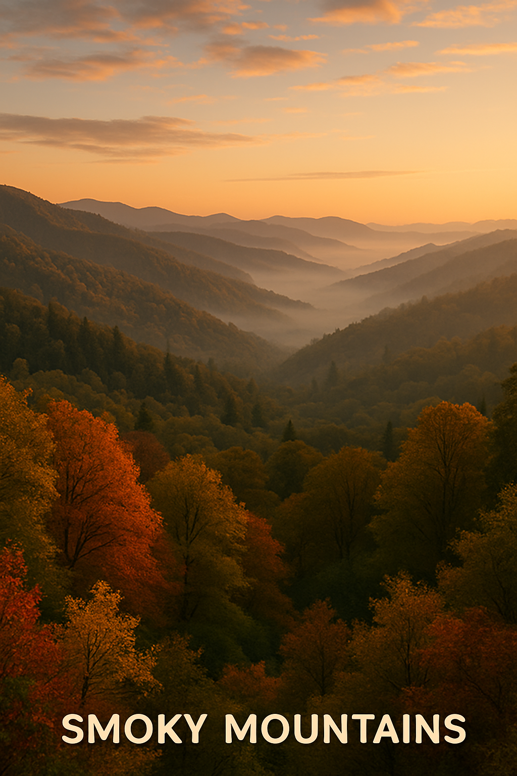
The Smokies are named for the natural haze produced by isoprene emissions from all that hardwood forest — a blue-grey mist that settles in the valleys and gives the range its name. It’s beautiful and present even on clear days. On foggy days, you may see nothing but cloud from the tower. This is also fine — the cloud forest experience on the walk up is often better in those conditions.
No Entrance Fee
Great Smoky Mountains National Park is one of the very few major national parks that charges no entrance fee — a deliberate policy, and the reason it receives more visitors than Yellowstone and Grand Canyon combined. The tradeoff: the park has limited amenities compared to fee-funded parks.
Getting There
Newfound Gap Road (US-441) bisects the park from Cherokee, NC to Gatlinburg, TN. Clingmans Dome Road branches west from Newfound Gap (at the state line) and runs 7 miles to the parking area. The road is closed to vehicles December through March — the road may be driven but the dome is hikeable year-round on foot.
Gatlinburg, TN is the primary gateway — heavily touristy but functional. Cherokee, NC has less tourist infrastructure and faster access to the park’s North Carolina side. Camping at Elkmont Campground (inside the park) is the best option for early access.
For AT Hikers
Northbound AT hikers arrive at Clingmans Dome somewhere around mile 199 of the trail. For most, it’s the first time they’ve been truly above treeline. The register at the nearby shelter records passage of thru-hikers, flip-floppers, section hikers, and everyone in between. If you’re hiking and someone is resting at the tower who looks like they’ve been walking for two months, they probably have been.
Coordinates: 35.5628°N, 83.4985°W | Clingmans Dome, Great Smoky Mountains National Park, TN/NC