Fire and Ice: The Volcano and Ice Cave Loop in New Mexico
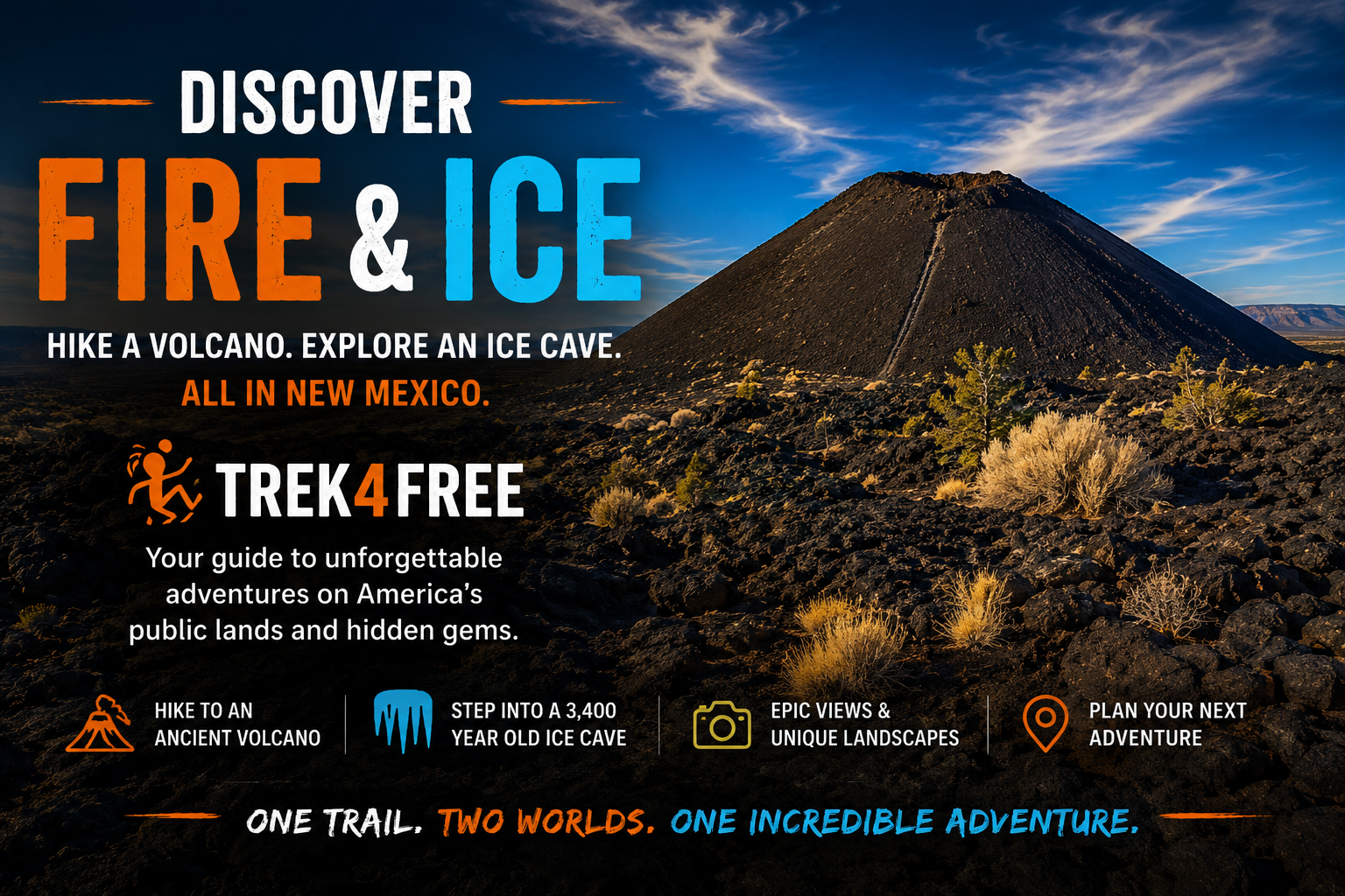
Fire and Ice: The Volcano and Ice Cave Loop in New Mexico
Here’s something that stopped me when I was putting together our caves guide: a privately-owned site in the New Mexico high desert where you hike to an active-looking cinder cone volcano and then walk into a cave that has been frozen solid for 3,400 years.
On the same trail. In the desert.
My first reaction was the same one you probably just had: how is there permanent ice in New Mexico? The ground gets hot out there. And isn’t the center of the earth supposed to be warm?
Turns out the answer is one of those things that seems obvious once you understand it — and makes you look at caves completely differently once you do.
The Question Worth Asking
The earth does get warmer as you go deeper. That’s real — geothermal gradient, the slow bleed of heat from the planet’s molten core toward the surface. But that effect only matters thousands of feet underground. The Bandera Ice Cave is shallow. Something else is happening.
Here’s the mechanism: cold air is denser than warm air. It sinks.
In winter, frigid night air rolls into the lava tube, drops to the lowest point, and sits there. The cave entrance is at the top. The ice is at the bottom. Warm summer air — being lighter than cold air — physically cannot displace what’s pooled below it. Warm air rises; it has no way to push cold air up and out of a cave.
So every winter adds a layer. Every summer removes almost nothing. Do that for 34 centuries and you get a 20-foot-thick mass of permanent ice, layered like a frozen core sample of the last 3,400 winters, sitting at 31°F year-round while the desert above bakes.
The thick lava rock above it acts like a giant insulating cooler — not heating the interior, but keeping outside temperature swings from reaching it. The geothermal warmth that would eventually matter is overwhelmed at this shallow depth by the cold trap.
It’s the same physics as a root cellar, or why a basement stays cool in August. Except this one is carved from volcanic rock and has been running since before the Bronze Age collapsed.
The Fire Half: Bandera Volcano
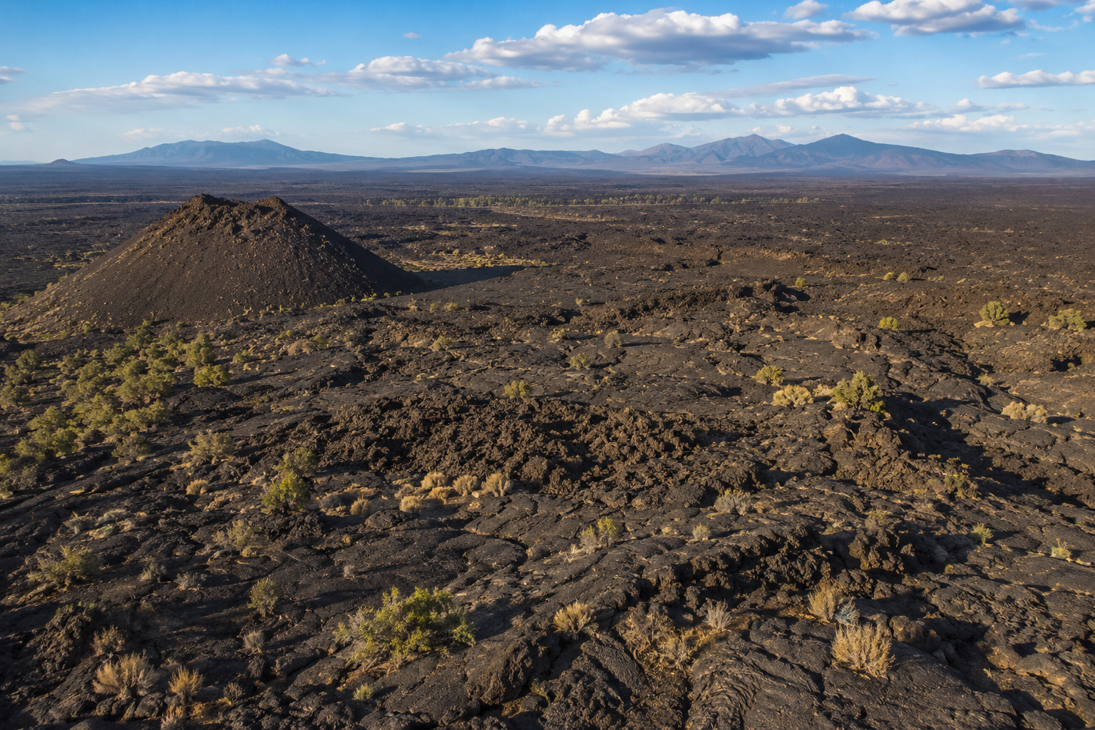
The loop starts with the volcano. Bandera erupted roughly 10,000 years ago, leaving a near-perfect cinder cone you can hike to the rim of in about 20 minutes from the trailhead. The path climbs through a landscape of black basalt rubble and sparse high-desert scrub — the lava flow from Bandera stretches for miles in every direction, one of the longest continuous flows in the lower 48.
From the rim you look into the bowl of the cone and out across the El Malpais volcanic field — Spanish for “the badlands.” Dozens of eruption points, overlapping lava flows, cinder cones, the whole volcanic plumbing of this section of the Colorado Plateau laid out below you. It looks recent because geologically it is. The youngest flows in this area erupted around 3,000 years ago. People were alive to see it.
The Ancestral Puebloans who lived in this region watched some of these eruptions happen. They incorporated the lava flows into their world — trails across the hardened basalt, camps on the edges, the whole landscape woven into their lives. The ancient-sites we track at Trek4Free extend into this volcanic country.
The Ice Half: Into the Cave
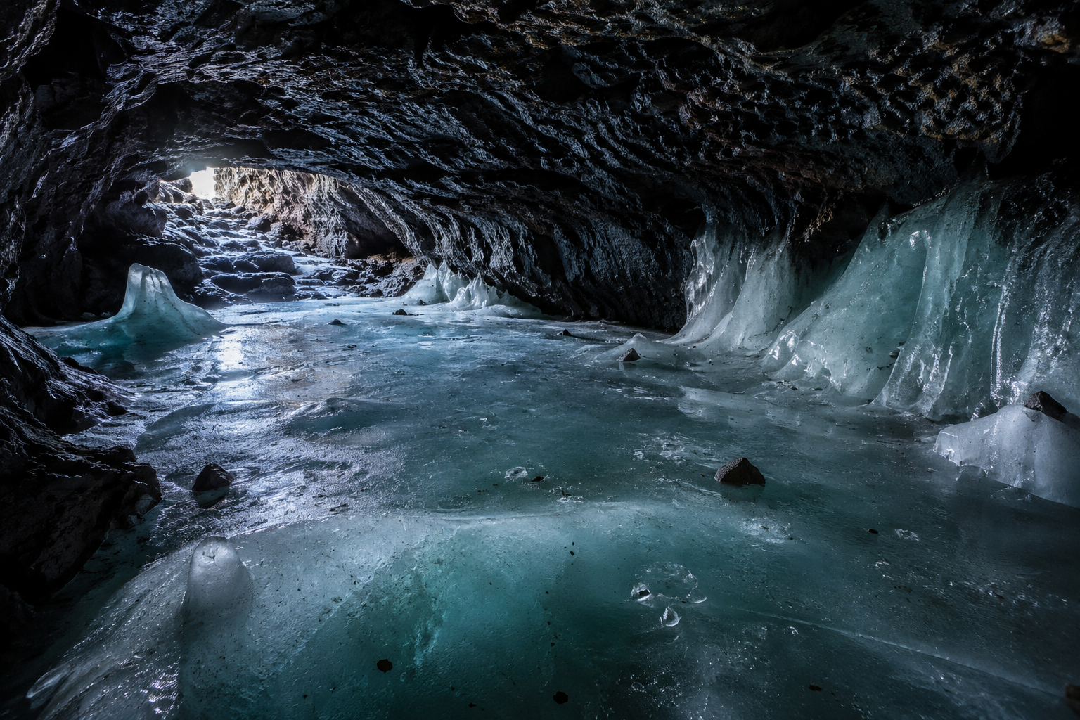
The trail drops back down from the volcano and leads into the lava tube entrance — a shadowed opening in the flow where the temperature change hits you within a few steps. From 70-degree desert air to 31°F in about 30 feet of walking.
The ice floor begins a short distance inside. It’s not clear like ice from a freezer — it’s the color of old glass, compressed and dense from centuries of layering, with visible bands if you look at the walls where the annual accumulations built up. The ceiling is close. The cave is not large. But the contrast — the absolute cold, the silence, the knowledge that you are standing on ice that was forming when the Egyptian New Kingdom was at its height — is something that takes a moment to settle.
The cave stays at 31°F. Dress for it regardless of what the thermometer says outside.
Fire and Ice in the Same Morning

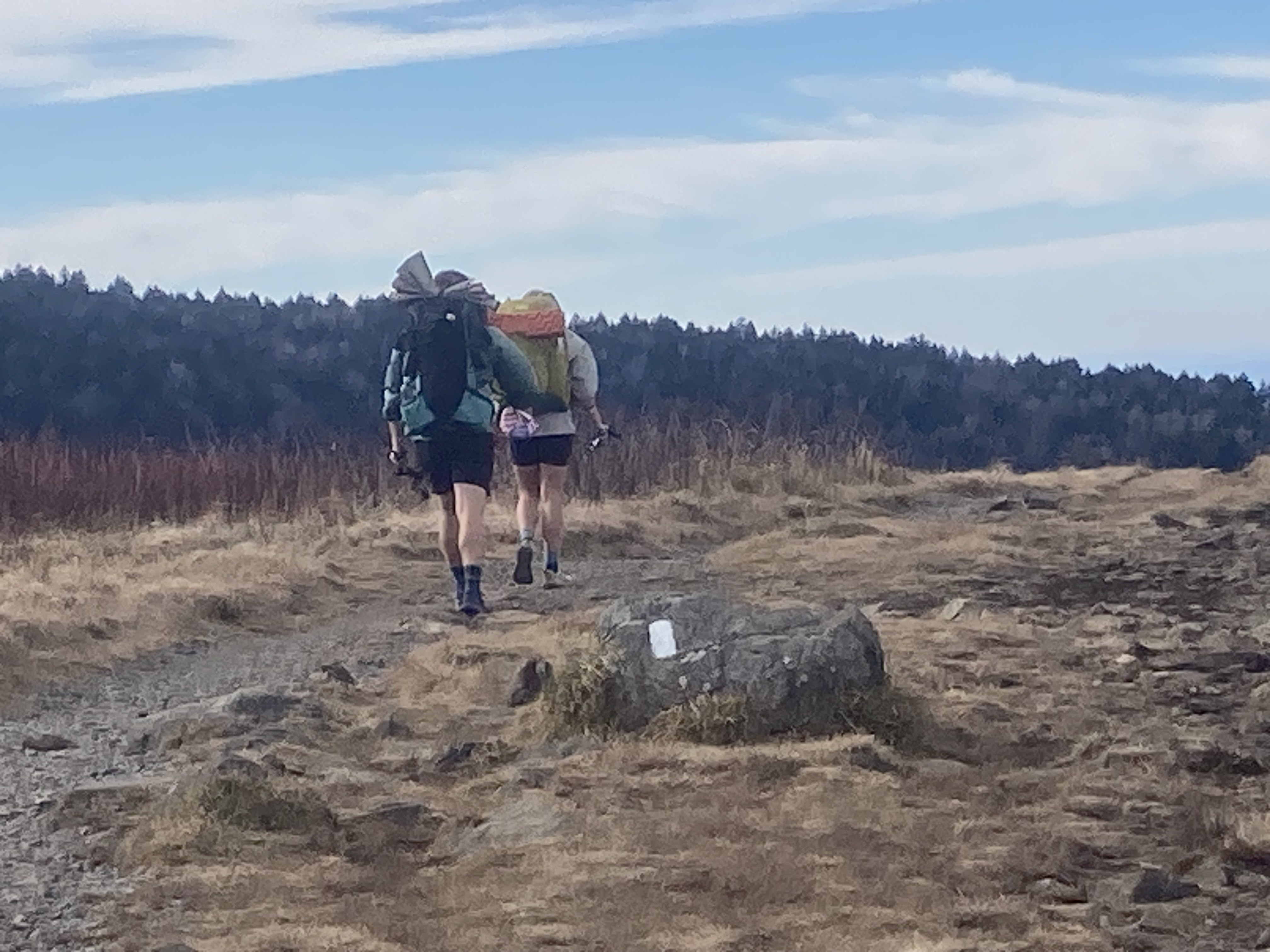
The 1.8-mile loop connects both in one outing. Volcano first, then the ice cave on the return. You’ll be back at the trailhead before lunch, which leaves the afternoon open for the free lava tube caves at El Malpais National Monument just up the road — a completely different cave experience on public land with no admission fee.
Bandera Volcano and Ice Cave is privately owned and operated by the Ice Cave Trading Post on Route 66 country near Grants, New Mexico. Located on NM-53, about 25 miles southwest of Grants. $14 per adult. Open year-round, weather permitting. Dogs are not allowed inside the ice cave.
The trading post has been here a long time. Don’t expect a theme park. Expect a cave that has been doing its thing for 34 centuries and will be doing it long after the trading post is gone.
Getting There
Address: 12000 NM-53, Grants, NM 87020 Approximately 25 miles southwest of Grants on NM-53, off I-40 exit 81.
Combine with:
- El Malpais National Monument — free lava tube caves 10 miles east, including Big Skylight Cave and ice-floored passages
- Carlsbad Caverns — 3 hours southeast for the full New Mexico cave circuit
- Ancient Sites of New Mexico — the volcanic landscape here is layered with Ancestral Puebloan history
Both Bandera and El Malpais appear on the Trek4Free Caves map — filter for Caves to find them.
Have you been? We haven’t yet — it’s on the list. Tell us what we missed.